Construction, architecture, and engineering all run on accurate information about the physical world. 3D laser scanning has become one of the fastest and most precise ways to capture that information, turning real spaces into detailed digital data.
For anyone planning a build, a renovation, or an inspection, understanding this technology pays off. This guide explains what 3D laser scanning is, how it works, and where it delivers the most value.
Key Takeaways
- 3D laser scanning captures real-world spaces as highly accurate digital data.
- The output is a point cloud, made of millions of precise measurement points.
- Point clouds convert into CAD, BIM, and 3D models used across design and construction.
- Scanning is faster, safer, and more detailed than traditional manual measurement.
- It is widely used in architecture, engineering, construction, and heritage work.
What Is 3D Laser Scanning?
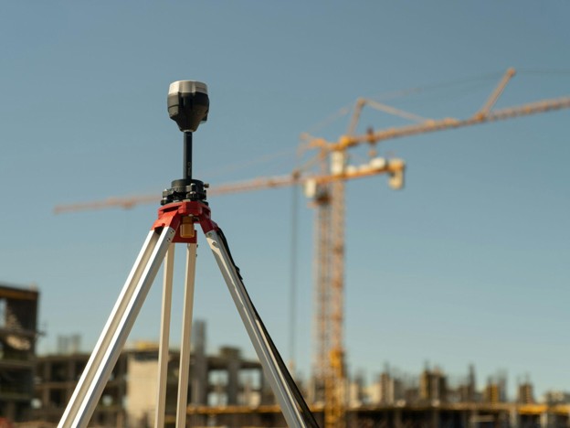
3D laser scanning is a method of measuring the built environment using laser technology. A scanner sends out laser light, measures how it reflects off surfaces, and records the distance, shape, and geometry of everything around it.
The result is an accurate digital record of a real space or object. Rather than a handful of manual measurements, the scanner captures the full environment in fine detail.
This makes it a reality capture tool at its core. It takes something physical and complex and turns it into data that can be measured, modelled, and shared.
The technology is sometimes called LiDAR, short for light detection and ranging. Whatever the name, the principle is the same: using laser light to build a precise digital model of a real space.
Understanding Point Clouds
The raw output of a scan is known as a point cloud. This is a dataset made up of millions of individual points, each one a precise measurement of a surface in three dimensions.
On their own, those points already form a recognisable digital version of the space. Merged from multiple scan positions, they build a complete and highly accurate picture of a site.
Point clouds are also flexible once captured. They can be coloured, manipulated, and converted into different file formats depending on what the project needs.
How the Process Works
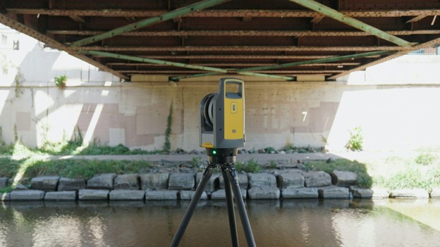
A scanning project usually begins with planning around the site and the goal. The team decides where to position the scanner so that every important surface is captured without gaps.
On-site, the scanner is moved through a series of positions to cover the whole space. Each scan overlaps with the next, so the software can stitch them into one seamless dataset later.
Back in the office, that data is registered and processed into a usable form. From there, it can become a point cloud, a CAD drawing, a BIM model, or a set of 2D plans.
From Point Cloud to Usable Models
Capturing the data is only half the value, since most projects need it in a workable format. Specialists process point clouds inside CAD, BIM, or visualisation software to produce the deliverables a project actually uses.
For architects and engineers, that often means a 3D Revit model or detailed 2D drawings. These give precise measurements to design against, drawn from the real conditions rather than assumptions.
The same data supports a wide range of outputs. Floor plans, elevations, sections, as-built records, and asset models can all come from a single scan.
The Key Benefits
Speed is one of the most obvious advantages of laser scanning. A scanner captures a vast amount of detail in a fraction of the time manual measurement would take.
Accuracy is the benefit that matters most to technical users. Scanning delivers millimetre-level precision and millions of data points, far beyond what limited manual measurements can offer.
Safety improves as well, since teams can capture difficult or hazardous areas from a safe distance. It also reduces the need for repeat site visits, because the full environment is recorded in one pass.
There is a cost angle that follows from all of this. Catching clashes and errors early, before construction, avoids expensive rework down the track.
The data also has a long shelf life once it is captured. A single accurate scan can serve design, construction, and facility management for years, rather than being measured again and again.
Where 3D Scanning Is Used
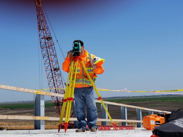
When choosing a provider, it makes sense to look for established 3d laser scanning Brisbane specialists with experience across architecture, engineering, and construction.
The right team brings both quality equipment and the surveying knowledge to capture reliable data.
In architecture, scanning provides accurate base data for design and renovation work. It captures existing conditions, intricate facades, and heritage details that would be slow and risky to measure by hand.
In engineering and construction, it supports inspection, site monitoring, and clash detection. Teams can verify as-built conditions against the design and track changes across the life of a project.
Heritage and historic buildings are another strong fit for the technology. Scanning records fragile structures without any physical contact, creating a precise digital archive for conservation and restoration.
Choosing a Scanning Service
Not every provider offers the same level of quality, so a few checks help. Look for proper insurance, strong safety practices, and qualified specialists who understand surveying as well as the scanning hardware.
It also helps to confirm how the data will be delivered. A good provider supplies point clouds and models in formats that fit neatly into your existing CAD or BIM workflow.
Conclusion
3D laser scanning has changed how the built environment is measured and understood. Capturing reality as precise digital data, it gives design and construction teams a faster, safer, and more accurate foundation to work from.
Whether the job is a new build, a renovation, or a heritage record, the principle holds. Capture the real conditions accurately first, and every decision that follows rests on solid ground.
Frequently Asked Questions
What is a point cloud?
A point cloud is the raw output of a 3D scan, made up of millions of measured points in three dimensions.
Together, these points form an accurate digital representation of a space, which can then be converted into models and drawings.
How accurate is 3D laser scanning?
3D laser scanning typically delivers millimetre-level accuracy and captures millions of data points quickly.
This gives a far more detailed and comprehensive dataset than traditional manual surveys, which rely on a limited number of measurements.
How long does it take to scan a building?
It depends on the size and complexity of the building, but a large warehouse or commercial space often takes a day or two.
Properties with many rooms or intricate internal details, such as services, can take longer to capture fully.
Can scanning be done without disrupting an active site?
Yes, 3D scanning is a non-invasive process that can be scheduled around site activity. The team coordinates with site managers so the work happens safely and efficiently without holding up construction.
Which industries benefit most from 3D scanning?
Construction, architecture, civil engineering, manufacturing, heritage preservation, and facility management all benefit strongly.
Any project that needs precise spatial data, as-built verification, or detailed site documentation is a good candidate.