Sabi Sands Game Reserve lies at the southwestern end of Kruger National Park, a haven for African wildlife and wilderness enthusiasts all around the world. Despite being famous for its Big Five sightings, it is these hidden pathways and secret waterholes that turn an ordinary safari into one filled with magic. Unveiling these treasures requires a blend of curiosity, a bit of adventurous spirit, and, most importantly, a good map.
The Map as Your Guide
In a world dominated by digital technology over conventional navigation techniques, Sabi Sands map acts as a compass around which we discover what has been hidden in this reserve. Each can be a paper map that is detailed enough, an app or even an interactive online platform that gives different angles to the undisclosed areas of Sabi Sands.
The Forgotten Waterholes
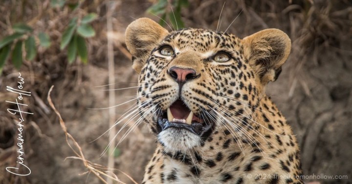
To many people, Sabi Sands attracts them because of its known leopard sightings. However, along these commonly used rivers are lesser-known waterholes, each with their own stories of survival and coexistence. Maps like these would lead you to those quiet places where you see many species of birds and, if you are lucky, the more elusive creatures that prefer to shy away from the crowds.
Uncharted Walking Trails
Sabi Sands contains several walking trails through which tourists can experience African wildlife intimately. Some paths do not appear in tour brochures. Hence, they require an appropriate map accompanied by someone who knows the area well. Tracking through these untrodden tracks presents a great exploratory experience as well as observation of some other small yet captivating components of ecology seldom seen during ‘vehicular’ safaris.
Seasonal Spectacles
The landscape within Sabi Sands transforms radically throughout every season of the year. These detailed sabi sands maps point out areas such as seasonal pans and flower zones that bloom after rains or during certain times annually. They are not only magnificent scenes but also wildlife magnets because they provide distinctive photo-taking chances. You also get a chance to watch nature’s cycles unfold before your very eyes.
Conservation Areas
One of the things that make Sabi Sands distinctive is its dedication to conservation. Some parts of the reserve are set aside for the preservation of particular species or habitats. Maps reveal these locations and provide an opportunity to learn about the reserve’s eco-initiatives and, perhaps, observe conservation in action. Visiting, learning or anything done to support such projects helps contribute positively towards protecting the reserve.
The Stargazer’s Map
When the sun sinks beneath the edge of the earth, a wide array of constellations appears in Sabi Sands’ skies. The region is one of the best places for stargazing in South Africa because there is no light pollution. Star maps may be used to locate new celestial wonders and establish a link between ancient terrains below and endless space above.
Embrace the Journey
Discovering the hidden treasures of Sabi Sands via maps is a call for deep engagement with this extraordinary landscape. This also serves as a reminder that sometimes stepping off conventional paths based on imagery and lines drawn on paper can result in personal experiences etched onto our minds even long after the safari has come to an end.
Conclusion
To sum up, while Sabi Sands’ iconic fauna does deserve its reputation, it is still a reserve’s maps that open doorways to its less-known splendors. Truly appreciating how to traverse such paths enables visitors to locate their own memories captured in time as they genuinely discover the beauty of Sabi Sands.
Check out our Travel Adventure videos below!

Hi, I’m Crystal – a Kentucky-based Aromatherapist, wife, mom and the voice behind The Cinnamon Hollow. I share cozy, real-life inspiration for healthier routines, simple home living, essential oil use and safety, beauty, pets, and family adventures. From everyday tips to travel guides, my goal is to help you create a warmer life and embrace each day as its own little adventure. Always remember to live life, one adventure at a time! read more